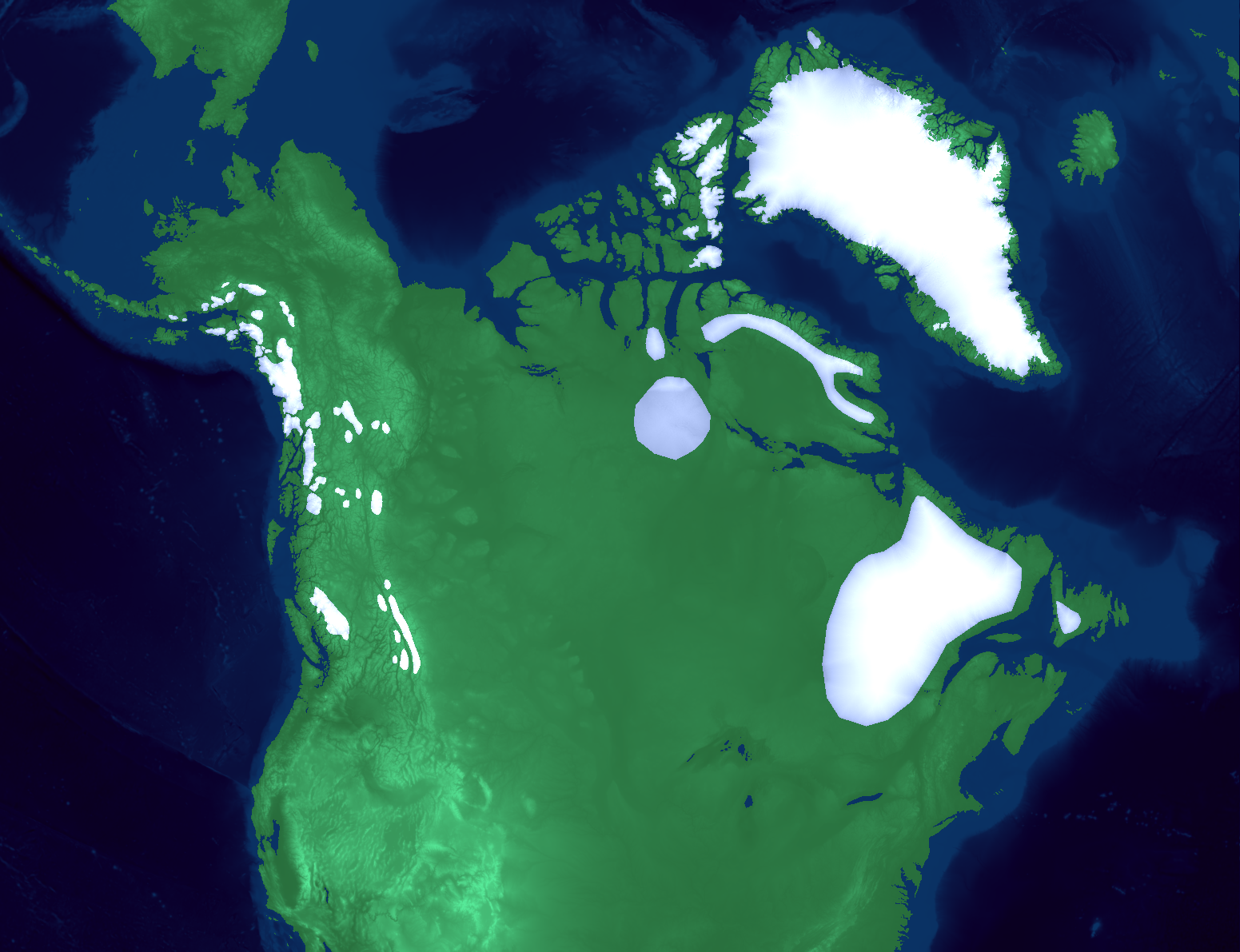
North American Ice Sheet Extent
The Last 80,000 Years
80k70k60k50k40k30k20k10k0k
80,000 years ago
Left – Ice sheet extent and topography
This map shows the topography of North America and its ice sheets. Elevations below sea level are shaded in blue while elevations above are shaded in green. The ice sheets are shaded in white/gray.
Bottom – Side profile through New Haven
This chart shows the side profile of the line drawn in red on the map. The point delineates New Haven. The continent is colored green, the ocean blue, and the ice sheets white.
By Josh Chang
EPS 111L Final Project
